Buying acreage in Fannin County should feel exciting, not uncertain. Yet one detail can make or break your plan for fencing, wells, driveways, and financing: where the legal boundary actually lies. If you are seeing “metes and bounds” in a deed or listing, you are reading the language that defines those lines on the ground.
In this guide, you will learn what metes and bounds mean, how to read older descriptions common in North Texas, what lenders and title companies expect, and the steps to take before you tour or make an offer. You will walk away with a clear checklist and next moves. Let’s dive in.
What metes and bounds mean
Most rural tracts in and around Fannin County are described in one of two ways:
- Metes and bounds. A series of courses, each with a direction and distance, that starts and ends at a Point of Beginning. Surveyors may call out bearings like “N 12° 15' 30" W” and distances like “250.00 feet,” along with physical markers (monuments) such as iron rods or stones.
- Lot and block. Parcels inside platted subdivisions identified by lot and block on a recorded plat. These plats also show streets, easements, and utilities.
Key terms you will see:
- Point of Beginning (POB). The exact spot where the boundary description starts and ends.
- Course or call. One segment of the boundary defined by a direction and a distance.
- Bearing vs. azimuth. A bearing uses N or S, an angle, and E or W. An azimuth ranges from 0° to 360° clockwise from north.
- Monument. A marker set in the field, often an iron rod, pipe, or stone. Monuments may be record (shown in prior instruments), found (located in the field), or set (placed by a surveyor).
Licensed surveyors prepare surveys in Texas under the oversight of the Texas Board of Professional Land Surveying. When lenders or title companies require a detailed product, they may ask for an ALTA/NSPS survey that shows boundaries, improvements, easements, and other title matters.
How to read old descriptions
Older metes-and-bounds deeds in Fannin County often read like turn-by-turn directions. Expect a chain of calls from one corner to the next, sometimes tied to a creek, a tree, or a fence. Distances are commonly in feet today, but older deeds may use chains, rods, or varas. Watch for unit changes across documents.
Not every description uses the same “north.” Some older surveys referenced magnetic north, while modern work favors true north and coordinate systems like state plane or NAD83. That can lead to small angle differences between surveys. A retracement surveyor reconciles these differences by researching the chain of title, searching for monuments, and weighing the best evidence.
Ambiguity can arise when a POB is missing, a called feature has moved or disappeared, or bearings and distances conflict across instruments. Surveyors handle these issues through research, fieldwork, and professional judgment to create a defensible boundary location.
Fannin County patterns to expect
Across North Texas you will see a mix of both systems. Inside platted city areas and subdivisions, lot-and-block descriptions are common. For outlying acreage, older farm tracts, and legacy splits in unincorporated Fannin County, metes and bounds dominate.
Legacy agricultural parcels are sometimes split over time. The tax parcel shown by the Fannin County Appraisal District may not match the recorded legal description if prior splits were informal or never platted. Confirm with records from the Fannin County Clerk and, if inside city limits, the applicable planning department.
Why accuracy matters
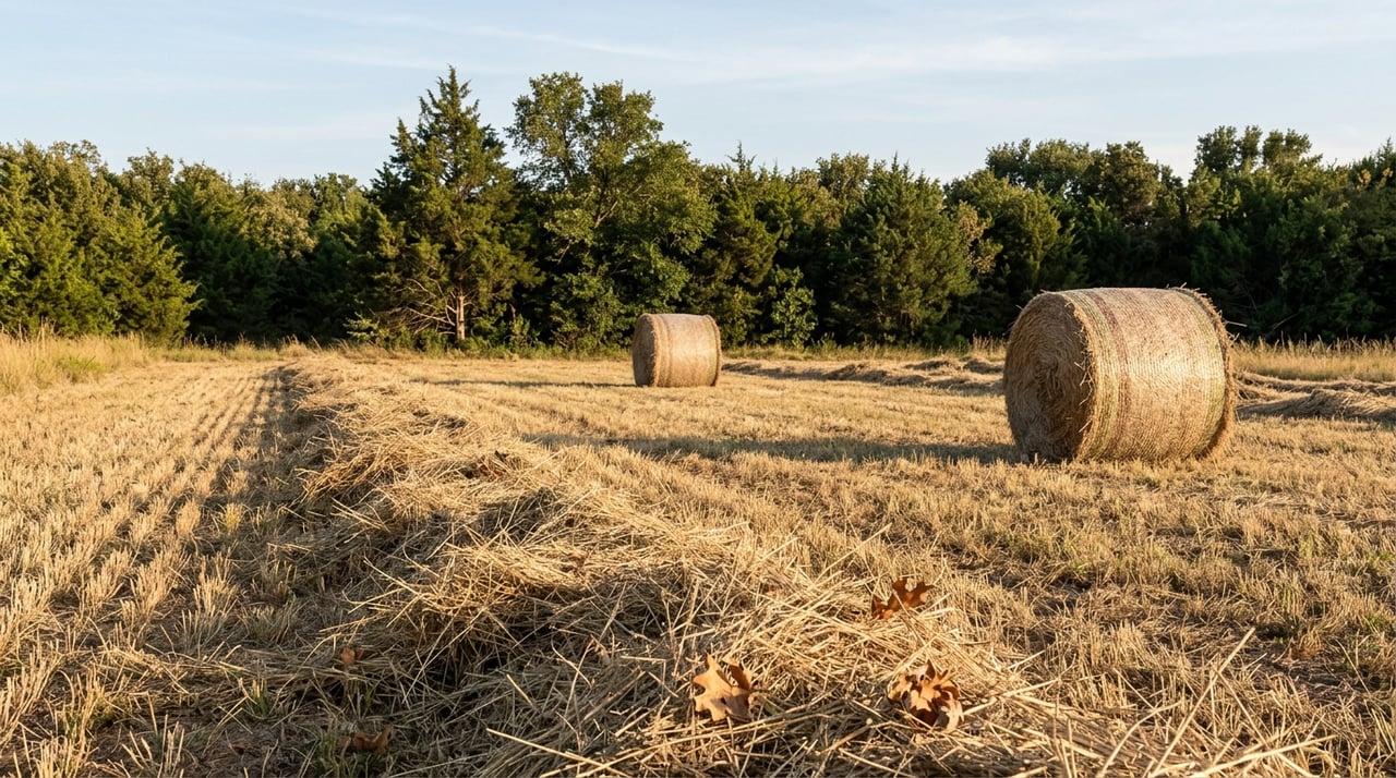
Small errors can have big consequences on rural property.
- Fences and gates. Building a fence on the wrong line can create trespass and encroachments. Historic fence lines do not always match legal boundaries. Only a survey can confirm where to place improvements.
- Utilities and improvements. Setbacks for wells, septic, and accessory structures are measured from legal lines and easements. Wrong placement can trigger code issues or removal.
- Lenders and title. Most lenders and title companies want a current survey that shows boundaries, improvements, and recorded easements or rights-of-way. Residential boundary surveys may be enough for simple deals. ALTA/NSPS surveys are used for commercial loans or complex rural tracts and when requested by title.
- Title insurance. Title commitments often include “survey” exceptions. A current survey can help reduce or clarify those exceptions. If the legal description is ambiguous, the title company may ask for clarification before issuing clear title.
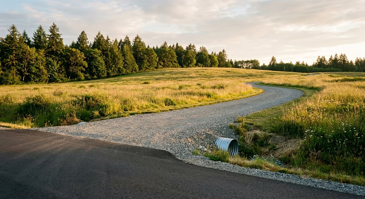
- Splits and access. Some splits require platting or county approval. Deed references to ingress and egress easements must be located and verified. County roads and private easements carry different obligations and risks.
Ignoring boundary issues can lead to moved fences, lost use of acreage, delayed closings, added title exceptions, or even litigation.
What to do before you tour
Before touring acreage in Fannin County, have the property’s deed, any prior surveys, and the title commitment reviewed. A licensed surveyor or title professional can confirm where the legal lines, easements, and Point of Beginning are located.
Ask the seller or listing agent for:
- The most recent deed with the full legal description.
- Any prior boundary or ALTA surveys and any plats.
- A current title commitment showing exceptions and easements.
- Property tax records and the Fannin County Appraisal District parcel map.
- Any recorded plats, subdivision records, or dedications from the Fannin County Clerk.
- Documentation of any informal or family splits, partitions, or court-ordered divisions.
When to order a survey
Order a new survey when any of these apply:
- You are buying acreage with a metes-and-bounds description and no recent survey.
- You plan fence, gate, driveway, or building work near perceived boundaries.
- Your lender or title company requires updated survey evidence or a specific survey type.
Survey options to discuss with your lender and title company:
- Boundary survey. Locates boundary lines, corners, and improvements for most residential loans.
- ALTA/NSPS survey. A comprehensive product that maps recorded easements, rights-of-way, and title matters. Often used for commercial property and complex rural tracts.
What to provide your surveyor:
- Chain-of-title documents and prior surveys.
- The title commitment and any special lender or title requirements.
- Any site information about found or missing monuments and visible encroachments.
Quick review checklist
Documents to collect:
- Deeds that created the current parcel and the most recent deed into the seller.
- Recorded plats or subdivision maps, if any.
- Prior surveys and surveyor certifications.
- Title commitment or preliminary report.
- CAD parcel map and legal description from the Fannin County Appraisal District.
- Recorded easements, rights-of-way, restrictive covenants, and mineral reservations.
- Notes from any prior survey about monuments found or missing.
Questions to confirm before an offer:
- Is the description metes-and-bounds or lot-and-block?
- Where is the POB and can it be found on site?
- Which recorded easements or rights-of-way cross the parcel, and what are their widths?
- Are there conflicts between deeds or prior surveys?
- Did any prior splits require platting or county approval?
- Do fences or improvements encroach over the legal line?
- Will the lender or title company require a boundary or ALTA/NSPS survey?
Red flags to escalate to a surveyor or title attorney:
- Conflicting legal descriptions in recent documents.
- A split with no recorded plat where one seems required.
- Easements referenced without mapped locations.
- Missing or destroyed monuments along with an ambiguous POB.
Costs and timing
Survey pricing varies with acreage size, terrain and vegetation, the complexity of the calls, the number of monuments to locate or set, and the research needed to follow the chain of title. A small residential boundary survey typically costs less than a rural acreage retracement or an ALTA/NSPS survey. The latter costs more because of the added research and mapping requirements.
Build time into your contract. Surveyor availability and title review can take days to weeks depending on complexity and season.
Working with local pros
In Texas, licensed land surveyors complete boundary and ALTA/NSPS surveys. Title companies review surveys to evaluate exceptions and insurability. Lenders often specify what survey type they will accept. For disputes or complex chains of title, a title attorney can advise on remedies and documentation.
If you want a smooth process, engage your team early. Share deeds, prior surveys, and the title commitment with your surveyor and agent, and give the title company time to review the final survey before closing.
Your next steps
- Decide whether the tract you like is described by metes-and-bounds or by lot-and-block.
- Gather deeds, prior surveys, the title commitment, and CAD information before touring.
- Talk with a licensed surveyor about boundary or ALTA/NSPS needs based on your lender and title company’s requirements.
- Plan for fence lines, driveways, wells, and septic only after the legal lines are located.
If you are weighing acreage in Fannin County or nearby North Texas counties, our broker-led team can help you collect the right documents, coordinate with local surveyors and title companies, and keep your deal on track. Start your search with Bois D’Arc Realty today.
FAQs
Are fences the legal property line on Fannin County acreage?
- Not necessarily. Historic fences often differ from legal boundaries. A current survey is the reliable way to locate the legal line before placing or moving a fence.
Will a Texas title policy protect me from boundary disputes on rural land?
- Title insurance covers many defects in title, but boundary issues are commonly excepted without a current survey. A recent survey helps the title company evaluate and reduce exceptions.
Do I always need a new survey to buy acreage in North Texas?
- Not always. A recent, certified survey that meets your lender and title company’s standards may be sufficient. For fencing, construction, or complex tracts, a new survey is often requested.
Who typically pays for the survey in a Fannin County land purchase?
- Custom varies and is negotiable. Buyers often pay to meet lender requirements or for their own protection, but contracts can allocate the cost to either party.
What is an ALTA/NSPS survey and when is it used?
- It is a comprehensive survey standard often required for commercial loans or complex rural properties. It maps boundaries, improvements, and recorded title matters to a higher level of detail.